Tailor made advice based on ultra-high detailed spatial information for decision and maintenance support on flood defences.
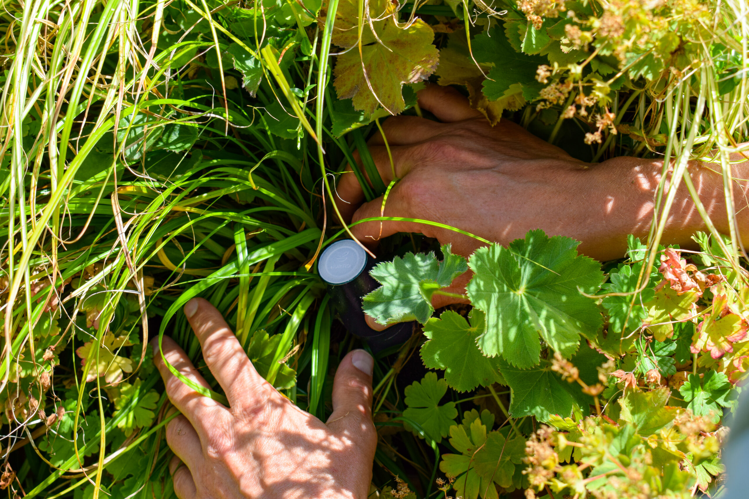
Down2Earth Sensing provides up-to-date ultra-high detailed spatial information for inspection of flood defences (dikes/embankments/dunes) and water systems. With our information, better decision-making is possible resulting in lower maintenance costs and reducing safety failure risk. We use RPAS (Remotely Piloted Aircraft Systems / drones) to collect data.
The RPAS can be equipped with a range of sensors (visible and non-visible light) according to specific customer requirements. Down2Earth Sensing translates the data into relevant information, which is used to provide tailor-made advice for decision and maintenance support. We provide detailed information on, for example, height, maintenance situation, erosion, damage, grass coverage, vegetation levels and groundwater seepage.

CONTACT Down2Earth Sensing
Down2Earth Sensing
Rutger van Hogezand
www.d2e-sensing.com
+31 6 81617333
info@d2e-sensing.com